Africa Is Bigger Than the Map: Why the AU's New Push Matters
The African Union has backed a campaign to replace distorted world maps with more accurate projections. The issue is not just geography. It is how the world learns to see Africa's size, power, and place in history.
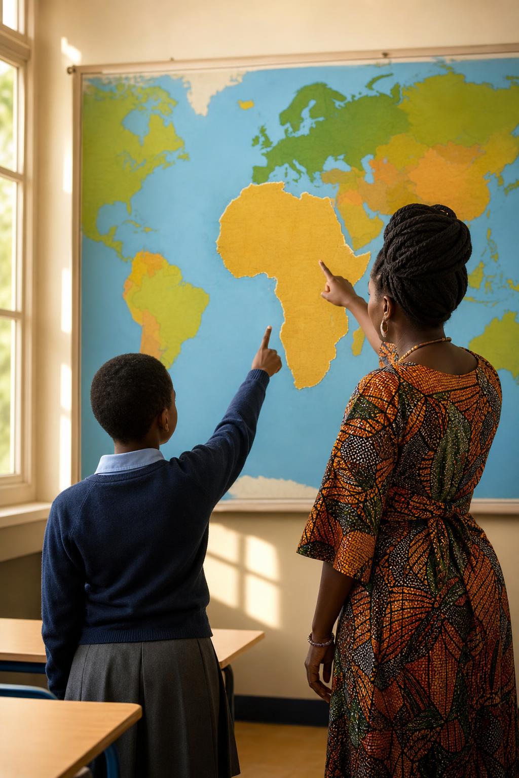
For generations, millions of students have grown up looking at a world map that made Africa appear smaller than it really is. The distortion is familiar, so familiar that many people stopped noticing it. But the African Union's endorsement of the "Correct The Map" campaign has turned a classroom wall into a continental conversation about truth, status, and representation.
The campaign, led by Africa No Filter and Speak Up Africa, is pushing schools, international institutions, media organizations, and technology platforms to move away from the Mercator projection and adopt more accurate alternatives such as Equal Earth. The argument is simple: if a map consistently shrinks Africa in the public imagination, it also shrinks the way people understand Africa's role in the world.
The Mercator projection was created in the 16th century for navigation. It helped sailors plot straight-line routes across the sea, but it was never designed to be the final picture of global proportion. Because it enlarges landmasses near the poles, areas such as North America, Europe, and Greenland appear far larger than their true scale, while Africa and South America appear smaller.
That distortion matters because maps do more than describe space. They teach hierarchy. They tell children which places look central, which places look distant, and which places seem big enough to matter. When Africa is visually reduced, its demographic weight, cultural influence, economic potential, and historical centrality are easier to underestimate.
This is why the AU's endorsement is significant. It gives political and cultural weight to a campaign that has already been arguing that representation is not cosmetic. For African countries and diaspora communities, correcting the map is part of a wider struggle to correct the story: Africa is not peripheral, not minor, and not waiting to be discovered by someone else.
The timing also matters. Africa is projected to shape the future through population growth, urbanization, technology adoption, creative industries, minerals, climate adaptation, and diaspora capital. Yet global education systems and media habits still often rely on visual frameworks built for another age. A continent can be central to the future and still be made to look secondary on the page.
For diaspora readers, the issue is deeply personal. A map on a classroom wall can shape how a child understands heritage before that child has language for identity. It can quietly reinforce the idea that Africa is smaller, weaker, or less consequential than it is. Correcting that image is not about exaggerating Africa's importance. It is about removing a distortion that has been normalized for too long.
There is also a digital dimension. Today, maps are not just printed in textbooks. They live inside phones, search tools, newsrooms, classrooms, and online learning platforms. If those systems continue to recycle old distortions, the old imagination survives in modern form. If they change, a more accurate view of the world can travel faster than any school poster ever could.
Critics may argue that no flat map can perfectly represent a round planet. That is true. Every projection makes tradeoffs. But the question is not whether perfection is possible. The question is whether institutions should keep using a projection widely criticized for misrepresenting scale when better options exist for general education and public communication.
The answer should be obvious. Mercator can remain a historical navigation tool. It should not remain the default mental picture of the world.
Africa does not need a flattering map. It needs an honest one. The AU's backing of the Correct The Map campaign is a reminder that narrative sovereignty begins with basic accuracy. Sometimes the first step in changing how the world treats a continent is changing how the world sees it.
Read Next
- When Africans Must Be Evacuated From Africa, Unity Faces A Hard Test
- West Africa’s Development Bank Just Got a Credibility Upgrade. Here’s Why It Matters.
- Nigeria’s Crypto Shift Could Turn Diaspora Remittances Into Investment Capital
Discover more from ADUNAGOW Magazine
Subscribe to get the latest posts sent to your email.